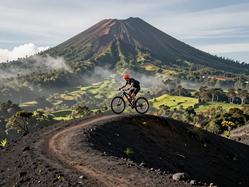
Ride Through a Sleeping Volcano: The 2026 MTB Guide to Garrotxa’s Lunar Trails
Discover Garrotxa’s lunar volcanic trails in our 2026 MTB guide—routes, tips, and epic rides through a sleeping volcano’s rugged landscape.
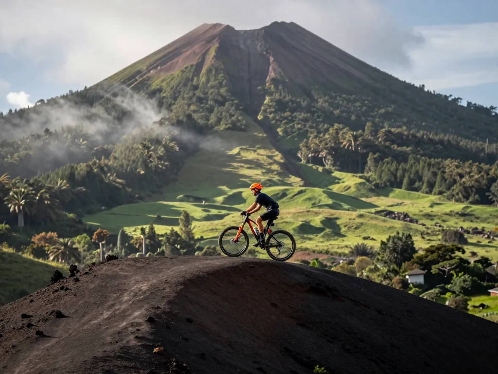
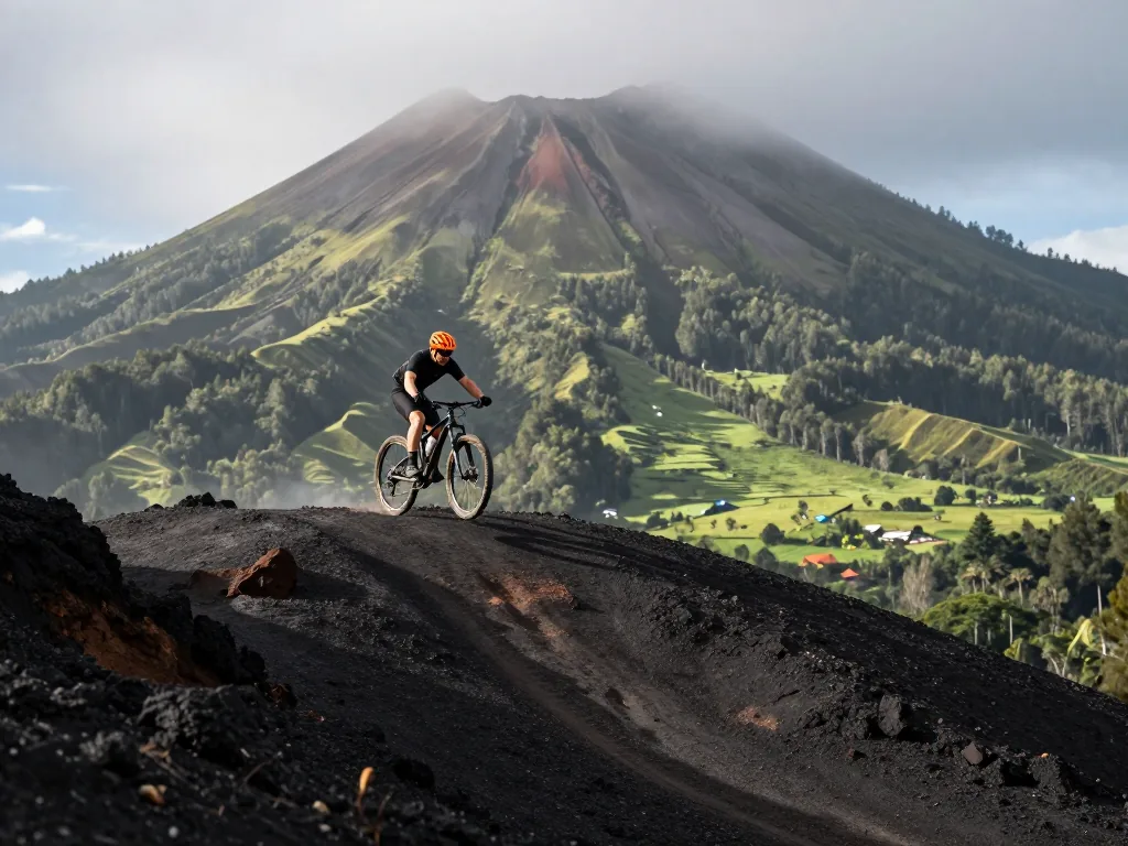
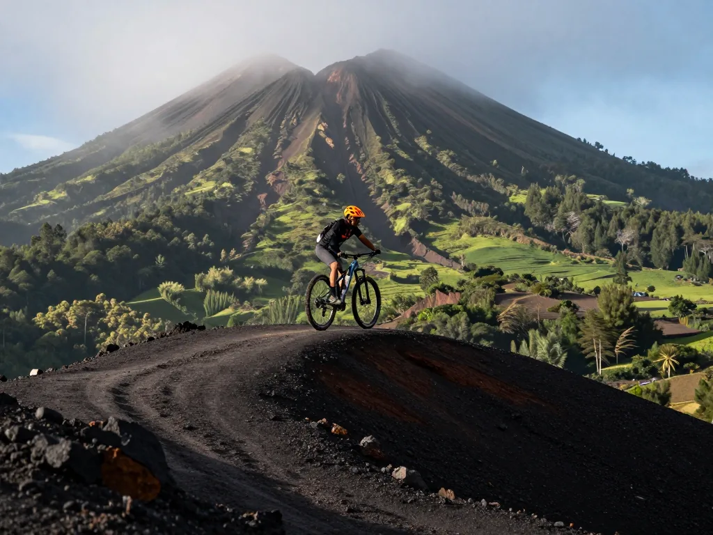
Forget the Alps. Europe’s real lunar landscape hides in Catalonia’s Garrotxa, where dormant volcanic cones rise from beech forests and black basalt rivers of rock flow beneath your tires. As the 2026 season kicks off, this is the definitive guide to shredding the region’s otherworldly “lunar trails.” From cinder-strewn singletrack on the Croscat massif to crater-rim descents of Santa Margarida, we’ve got it covered. Chasing flowy volcanic gravel or technical black-lava chutes? You’ll find current trail conditions, GPS-ready route breakdowns, and the best post-ride fuel stops in Olot. Strap on your helmet—the sleeping giant is awake, and its slopes are waiting for your wheels.
Understanding the Volcanic Playground
What Makes Garrotxa Unique for MTB
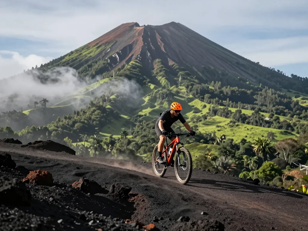
Nowhere else in mainland Europe compares to the Garrotxa Volcanic Zone Natural Park. Forget dramatic, snow-capped peaks—this is a rolling plateau of ancient lava flows, cloaked in beech and oak forests and dotted with over 40 perfectly preserved volcanic cones. For mountain bikers, the result is surreal, almost lunar. Trails here skip the brutal, sustained climbs in favor of punchy, technical ascents up dormant crater flanks, then reward you with fast, flowy descents over hardened basalt and soft cinder. You’ll pedal straight through the grassy bowl of Santa Margarida’s crater, home to a tiny hermitage, and trace the raw quarry face of Croscat, where the mountain’s guts spill out in a stunning wall of ochre and grey. At nearly 900 meters, Puig de les Medes is the high point, gifting sweeping Pyrenean views on clear days. The park sprawls across roughly 15,000 hectares and 11 municipalities in Girona province, so every ride becomes a varied puzzle rather than a grind. The real secret lies in the soil: porous, crumbly volcanic rock grips beautifully when dry, but after rain it turns into slick, clay-like paste—demanding sharp line choice and a healthy respect for the forecast.
The 2026 Regulatory Landscape
Riding here in 2026 means trading pure freedom for mindful navigation. The ecosystem is fragile, and local authorities have tightened the rules to protect it. Your GPS tracks must stick to designated trails and forest roads—off-trail riding is banned and actively monitored. This isn’t red tape; it’s what keeps the trails from eroding into gullies. The season’s biggest shift is the mandatory free permit for organized groups of ten or more cyclists. Available online or at visitor centers, it manages traffic on narrow singletrack and prevents weekend congestion. Solo riders and small groups skip the paperwork, but everyone must heed the signage. Watch for seasonal closures on popular cones like Montsacopa’s summit during bird nesting periods. Guided half-day tours run €35 to €90 per person, depending on operator and bike rental. To enjoy 2026, plan your route on official maps, download the park’s digital layer, and treat the volcanic soil with the respect it deserves.
Planning Your Trip Timeline
Garrotxa’s volcanic landscape sets its own calendar, and in 2026, the smart rider plans around the lapilli. This black, porous gravel is a dream when dry—incredible traction on those lunar-like slopes. But within minutes of rain, it turns into a treacherous, grease-like slick. The prime riding season runs from March to June and September to November. July and August bring heat and dust; December through February can deliver frost and snow above 700 meters. Because lapilli becomes dangerously slick after rain, plan for early starts in spring and autumn. In March and April, expect mud in shaded beech forests, though the higher cones are often already rideable. By late May, the soil firms up, wildflowers bloom, and days stretch long. September is the gold standard: heat broken, rain not yet arrived, trails fast, loose, and perfectly buffed.
For 2026, target the last week of May or the first three weeks of October. If summer is unavoidable, start before 7:00 AM and finish by 11:00 AM. The exposed basalt fields offer zero shade, and tires feel like they’re melting into the lava flows. In winter, stick to lower routes around Santa Pau—they stay frost-free—but carry aggressive treads and micro-spikes for icy boardwalks. Flexibility is key: check the 72-hour forecast and flip your route direction to chase dry ground. Local shops in Olot adjust hours seasonally; in May, June, and September, book rentals and shuttles in advance, as demand spikes from €35 to €60 per day for a full-suspension bike. In November and February, you can negotiate down to €25–€40, but mechanical support thins out. Plan a 4- to 7-day window, leaving room for one rest day and one rain contingency. The terrain is unforgettable—but only when dry enough to ride.
Getting There and Getting Around
The Garrotxa’s volcanic terrain is compact enough to feel intimate, yet rugged enough to demand a strategic approach to logistics. Your base town dictates your daily ride profile, so choose with intent. Olot is the undisputed capital—a full-service city with bike shops, the essential visitor center at Can Serra (where you can pick up free trail maps and check current volcanic exclusion zones), and the largest concentration of trailheads. From Olot’s northern edge, you can climb directly onto the Croscat and Santa Margarida cone loops; from the south, you drop into the Fageda d’en Jordà beech forest. Santa Pau, 12 kilometers southwest, is the medieval counterpoint—cobblestones, arcaded squares, and the gateway to the southern volcanic cones like Montsacopa and the lesser-ridden Cànem. It’s quieter, but you’ll trade bike shops for charm. Les Preses, east of Olot, offers the most relaxed access: flatter approach roads, less traffic, and immediate links to the Ruta dels Volcans’ eastern flanks. That makes it ideal for shorter 20–30 kilometer loops when you want to skip the big climbs.
Public transport here is workable but not seamless. Buses from Girona connect all three towns via the TEISA and Sagalés lines, running roughly every 30–60 minutes on weekdays and less frequently on weekends. The catch: bike carriage is limited to two or three racks per bus, and drivers have discretion to refuse if the undercarriage is full. Confirm your specific departure time with the operator at least 24 hours ahead—especially on Sundays, when early afternoon services can disappear entirely. A taxi from Girona to Olot runs from €45 to €65 per trip, and many local riders simply rent a car from Girona’s airport (from €35 to €55 per day) to unlock the less-touristed eastern and northern sectors. Once you’re in the park, a shuttle service operates between Olot and Santa Pau during peak season (June–September), costing from €3 to €5 per ride, but it doesn’t accept bikes. For self-supported riders, the flat C-152 road between Olot and Santa Pau is safe and scenic—just keep your lights on through the tunnel sections near the beech forest.
Essential Gear and Setup
The volcanic terrain of the Garrotxa is a unique beast, and your bike setup will make or break your descent into the lunar landscapes. This is not a place for compromise; it’s where preparation meets geology.
Tire and Suspension Choices for Volcanic Soil
The primary challenge is the lapilli—loose, porous volcanic gravel that shifts like ball bearings under your wheels. Run wider tires, at least 2.4 inches, with an aggressive, knobbed tread. The tall, widely spaced knobs bite through the loose surface to the firmer, compacted ash below. Avoid semi-slick or fast-rolling tires; they will wash out on the first steep, dusty corner. For descents, set up tubeless and run pressures around 20-22 psi. This lets the tire deform over sharp, jagged rocks, increasing the contact patch and providing stable grip on the loose overburden. A mid-travel trail bike (130-150mm) is ideal for suspension. The constant chatter of volcanic rock demands a plush, supportive fork. Set sag slightly higher than usual (around 30%) to keep the front wheel planted on loose climbs, and use a firm low-speed compression setting to prevent bobbing on the frequent, punchy ascents between craters.
Navigation and Safety Kit
The dense forests and deep ravines of the Zona Volànica can swallow a GPS signal, and the trails are often unmarked, weaving between ancient lava flows. Do not rely solely on your phone. Carry a physical topographic map of the Garrotxa as a backup and a charged, dedicated GPS device with pre-loaded routes. The volcanic soil is incredibly dry and dusty, draining your water supply faster than you expect; few natural springs exist on the upper slopes.
Pro Tip: The loose lapilli is a magnet for chain suck and drivetrain wear. Apply a wet lube before the ride—the fine, abrasive dust quickly strips dry lubes. Pack a spare derailleur hanger and a quick-link; a snapped chain on a remote volcanic ridge is a long walk out.
Beyond navigation, your safety kit is non-negotiable. A satellite messenger or personal locator beacon is a wise investment for solo riders, as cell coverage is patchy at best. Carry a compact first-aid kit tailored for abrasions and puncture wounds, since sharp volcanic rock causes nasty cuts. Always pack an extra 1.5 liters of water beyond your usual amount, plus a filter or purification tablets. Finally, a multi-tool with a chain breaker and a small pump are essential—the terrain punishes any mechanical weakness.
Navigating the Official Trail Network
The Garrotxa’s volcanic landscape is a patchwork of protected natural areas, and the rules of engagement are strict but simple: you are a guest on ancient, fragile terrain. The official trail network is a mosaic of user types. Knowing where you legally belong is the difference between a seamless ride and a fine—or worse, contributing to erosion that takes decades to heal.
The GR-1 and Bike-Friendly Routes
The GR-1 is the spine of the region, a long-distance hiking path that winds through beech forests, over old lava flows, and past dormant craters. Here’s the critical bit: it is primarily a hiking route. Only segments explicitly signposted for bicycles are legal for you to ride. Don’t assume that a wide or well-groomed trail is open to MTBs. Your true allies are the local bike-friendly routes connecting the three hubs: Olot, Santa Pau, and Les Preses. Mostly quiet, unpaved forest roads (pistes forestales), they weave through agricultural plains and up gentle volcanic slopes. These are the workhorses of any Garrotxa MTB day, letting you link dramatic single-track sections without illegal shortcuts. Plan your day around these connectors; they are the legal arteries that keep the whole loop alive.
Reading Trail Markers and Permitted Surfaces
Forget color-coded difficulty ratings from bike parks. Here, signage is about permission, not challenge. Look specifically for MTB-specific markers—often a small bike icon on a wooden post. Yellow and white painted markers on trees or rocks mean you’re on a shared trail, typically used by hikers and cyclists; yield to walkers and keep your speed in check. A solid red or blue marker usually indicates hiking-only, so dismount and push if you need to cross. The permitted surface is almost always compacted dirt or gravel. If you hit a section of soft, black, crumbly soil—volcanic ash and lapilli—treat it like glass. Never cut switchbacks, and never create a new line down a slope to save seconds. These volcanic soils are incredibly porous and loose; one hard brake can carve a rut that turns into a gully after the next rain. Recovery is measured in decades, not seasons. Ride the existing line, respect the closure, and the volcano will keep giving you its best.
Route Building for Different Skill Levels
The Garrotxa’s volcanic terrain rewards those who match ambition with preparation. The region’s trail network—a patchwork of ancient herding paths, forest tracks, and modern singletrack—can be deceptive: a 10-kilometer ride here often feels like 15 elsewhere, thanks to the relentless up-and-down of ancient lava flows. The key is to build your route around your true technical comfort, not your fitness. Overconfidence on loose, volcanic cinder is the most common way to turn a dream ride into a long push.
Beginner Loop Around Olot and Montsacopa
Start in Olot’s old town, where cobbled streets give way to wide, forestry-service roads wrapping around the perfectly symmetrical Montsacopa volcano. This 12–15 km loop is your ideal introduction to the region’s signature surfaces. Gradients are forgiving—mostly 3–5% sustained climbs—and the compacted basalt gravel stays stable enough for hardtail riders with 2.2-inch tires. You’ll circle the volcano’s base, passing through oak groves and open pasture, with occasional peek-a-boo views into the crater’s rim. Green-and-white GR signage marks the loop well, but download a GPX anyway; forest intersections blur together. Plan for 1.5 to 2.5 hours of saddle time, including a stop at the hermitage on Montsacopa’s summit—a 15-minute hike-a-bike if you want the panorama. This route also suits e-MTBs perfectly: low assistance barely kicks in, letting you focus on line choice.
Intermediate Day Ride to Croscat and Santa Margarida
For a proper half-day adventure, build the Croscat circuit. This 25–30 km loop starts from the Santa Pau side of the Zona Volcànica de la Garrotxa Natural Park, climbing steadily for the first 8 km on a mix of paved farm lanes and packed dirt. The reward is the exposed lava flow on Croscat’s western flank—a jagged, dark wall of basalt that looks like a frozen river of charcoal. Here the trail turns technical, with embedded rocks and off-camber sections demanding active weight-shifting. You’ll then descend into the bowl of Santa Margarida, a dormant crater whose flat, grassy meadow holds a tiny Romanesque church. The descent is the real test: loose, fist-sized scoria over hardpack, with braking zones that can surprise you. Expect to dismount for two or three switchbacks on a hardtail. Budget 3–4 hours, including a picnic at the crater’s edge. Tire pressure is critical—drop to 22 psi front and 24 psi rear on tubeless setups to keep the cinder from skating. For beginners, start with the 12–15 km loop circling Montsacopa volcano from Olot, using wide forest roads with gentle gradients. Intermediate riders should tackle the Croscat circuit (25–30 km) that climbs to the volcano’s exposed lava flow, then descends to Santa Margarida’s crater meadow—expect loose gravel on all descents.
Advanced Considerations for Experienced Riders
Multi-Day Routes and Overnight Logistics
A single day might not be enough. The Garrotxa rewards a two-to-three-day expedition. Base yourself in Olot, the region’s pragmatic hub, and design a loop that pushes out to the medieval hilltop town of Santa Pau, returning via Les Preses. This is not a casual spin; it’s a 70–90 kilometre circuit with 1,800 to 2,400 metres of cumulative climbing, depending on how many volcanic cones you choose to summit. Day one: leave Olot early, climb the gentle but relentless slope toward the Croscat volcano’s south flank, then drop into the beech forests of the Fageda d’en Jordà. From there, traverse the undulating farmland to Santa Pau, where you’ll find a handful of stone guesthouses and agroturismos. Budget from €65 to €110 per night for a double room with breakfast. Day two: ride the technical singletrack above the Fluvià River valley, then climb the Coll de Bracons road section before descending into Les Preses. Overnight there, or push the final 10 kilometres back to Olot if your legs allow. Day three, if you’re running the extended loop, tackles the quieter northern cones—Montsacopa and Garrinada—before a final descent into town. Carry at least 2.5 litres of water per day; natural springs are scarce on the higher plateaus.
Shared Trails, Livestock, and Private Property
This volcanic landscape is living farmland, not a purpose-built bike park. Several trail sections cross working pastures, and you will routinely encounter sheep, cattle, and the occasional herd of horses. Always close livestock gates behind you—even if you found them open, the farmer’s grazing rotation depends on that latch. More critically, respect private property boundaries. Many medieval stone walls you’ll ride beside are not decorative; they mark legal ownership lines that have stood for centuries. Where a trail skirts a wall, stay on the worn path. Do not cut corners across meadows, even if they appear abandoned—scrub regrowth and unseen fencing will punish you, and landowners have every right to close routes. When you meet hikers or horse riders, they have right of way. Slow to a walking pace, unclip, and announce your presence with a clear “Buenos días” or a simple “Rider behind.” A bell works, but a voice is friendlier. The local equestrians appreciate a wide berth; pass only when the trail allows, and never squeeze between a horse and a wall. This mutual respect keeps the trails open for everyone—and in 2026, that’s a fragile privilege worth defending.
Visitor Centers, Permits, and Safety Protocols
Before you drop into the moon-scape of la Garrotxa, make two stops that will save you time, legal headaches, and possibly your skin. The Can Serra Visitor Center (in Olot) and the Croscat Interpretation Center (at the base of the volcano itself) are your twin lifelines. Both are staffed daily from 10:00 to 14:00 and 15:00 to 18:00 in 2026, and both stock the same essential kit: laminated trail maps that show the real singletrack (not the gravel fire roads), seasonal closure notices for nesting birds and post-rain erosion zones, and the current year’s riding regulations. Do not rely on downloaded maps from 2025—the volcanic soil shifts, and several trails were re-routed last winter after a landslide near the Fageda d’en Jordà beech forest.
Both visitor centers provide up-to-date trail maps, seasonal closure notices, and current regulations. In 2026, any organized ride of 10 or more cyclists must obtain a free permit—apply at least 48 hours in advance. For emergencies, carry a fully charged phone; cell coverage is patchy in the volcanic depressions, so share your route plan with someone before departure.
Group Permits and Emergency Procedures are taken seriously here, and for good reason. If you’re riding with nine or more bikes—even a casual club spin—you must secure a free group permit. Apply online via the Garrotxa Natural Park portal at least 48 hours ahead; walk-in requests at the visitor centers are routinely denied. The permit is a simple PDF, but it triggers the park’s ranger alert system, so they know where you’re likely to be. For solo or small-group riders, no permit is required, but you are still expected to sign the voluntary trail log at either center—it takes 30 seconds and gives search teams a starting point.
Emergency protocols are refreshingly simple. Dial 112 (Catalonia’s universal emergency number) and ask for “GRAF mountain rescue.” The park’s rangers operate a WhatsApp alert line (posted at both centers) that works on even the flimsiest signal. If you crash in a volcanic depression—the cràters are notorious for swallowing GPS and radio signals—your best bet is to climb to the rim of any crater, where coverage usually returns. Carry a physical whistle and a mirror; the park’s rescue drones (active since 2024) are equipped with thermal cameras and run regular sweeps on weekends, but they cannot see through dense oak canopy. In terms of costs, trail maps are free, but if you want a laminated waterproof version, expect to pay from €2 to €5 per map. The group permit remains free, but the 48-hour processing window is non-negotiable—plan your ride logistics accordingly.
Conclusion
Garrotxa’s lunar trails aren’t a theme-park ride. They’re a raw, shifting dialogue between volcanic rock and rubber—one where every switchback rewrites your definition of flow. The 2026 season favors those who respect the terrain’s ancient violence. Go in spring or autumn for tacky soil, pack a full-suspension bike with 2.4” tires, and download the local trail map before your first descent from the Croscat crater. Your next step is simple: book a shuttle to Santa Margarida, warm up on the Fageda d’en Jordà forest loop, and let the dormant caldera’s silence do the rest. The volcano is sleeping. Your legs won’t be for long.
Gallery
Frequently Asked Questions
Is the Garrotxa volcanic region suitable for mountain biking in 2026?
Yes, the Garrotxa remains one of Catalonia's top MTB destinations, with over 300 km of marked trails ranging from gentle volcanic plains to technical forest singletrack. In 2026, the region's network has been further improved with new signage and trail maintenance, making it accessible for intermediate riders while still offering challenges for experts.
What is the best time of year to ride in the Garrotxa in 2026?
Spring (April–June) and autumn (September–November) are ideal, with mild temperatures and drier trails. Summer can be hot and dusty, while winter brings occasional frost and mud, though the volcanic soil drains well. In 2026, local trail associations have also added seasonal closures on sensitive volcanic cones, so check the updated trail map before heading out.
Do I need a permit or to pay a fee to ride the trails in the Garrotxa?
No permit is required for most trails, as they run through public forests and municipal lands. However, in 2026, the Garrotxa Volcanic Zone Natural Park has introduced a free online registration for riders using the most popular routes (e.g., around Santa Margarida volcano) to help manage visitor numbers. Registration is quick and can be done at the park's official website.
What type of mountain bike is recommended for the Garrotxa's volcanic terrain?
A hardtail with 120–130mm of travel is sufficient for most green and blue trails, but a full-suspension bike (130–150mm) is recommended for the rocky, rooty descents on red and black routes like the BTT Ruta dels Volcans. In 2026, e-MTBs are also popular, and several local rental shops now offer them, but be aware that some narrow singletrack sections may be difficult on wider tires.
Are there any guided tours or group rides available in the Garrotxa in 2026?
Yes, several local guiding companies and the Girona Pyrenees MTB hub offer half-day to multi-day guided tours in the Garrotxa, focusing on volcanic craters, medieval villages, and hidden forest trails. In 2026, there are also weekly community group rides organized by the Associació de BTT Garrotxa, which are free and open to riders of all levels (with a minimum skill requirement).
What are the must-ride trails in the volcanic region for a first-time visitor?
The classic is the Ruta dels Volcans (green/blue), a 25 km loop that passes the Croscat and Santa Margarida volcanoes, with smooth gravel and gentle climbs. For more challenge, the BTT de la Fageda d'en Jordà adds technical root sections through the beech forest, and the black-grade trail down from Puig de Mar is a favorite for advanced riders in 2026.
How do I navigate the trails, and is there mobile coverage in the Garrotxa?
The official 2026 trail map is available as a downloadable GPX file from the Natural Park's website, and all marked trails have consistent yellow-and-white waymarking. Mobile coverage is good in most valleys and villages, but can be patchy inside volcanic craters and dense forests, so download offline maps or carry a paper backup.
What safety considerations are unique to riding on volcanic terrain?
Volcanic soil can be loose and slippery, especially on steep slopes after rain, so descend with caution and avoid braking hard on loose gravel. In 2026, some crater rims have new fencing to protect fragile ecosystems, so stay on designated trails—riding off-trail is strictly prohibited and can result in fines.
Are there bike repair stations or facilities along the trails?
Yes, the main trailheads at Olot, Santa Pau, and Les Preses have basic repair stands with tools and air pumps, installed in 2024 and maintained through 2026. However, there are no full-service bike shops along the trails, so carry a spare tube, patch kit, and a multi-tool; the nearest full-service shops are in Olot town.
Can I combine mountain biking with visiting the region's volcanic features and cultural sites?
Absolutely—many trails pass directly by the Croscat volcano's eroded face, the Fageda d'en Jordà beech forest, and the medieval village of Santa Pau. In 2026, the park has added several 'cultural loops' that include short detours to interpretation centers and Romanesque churches, allowing you to ride and sightsee in one trip.